Mapping out concrete architecture in Los Angeles
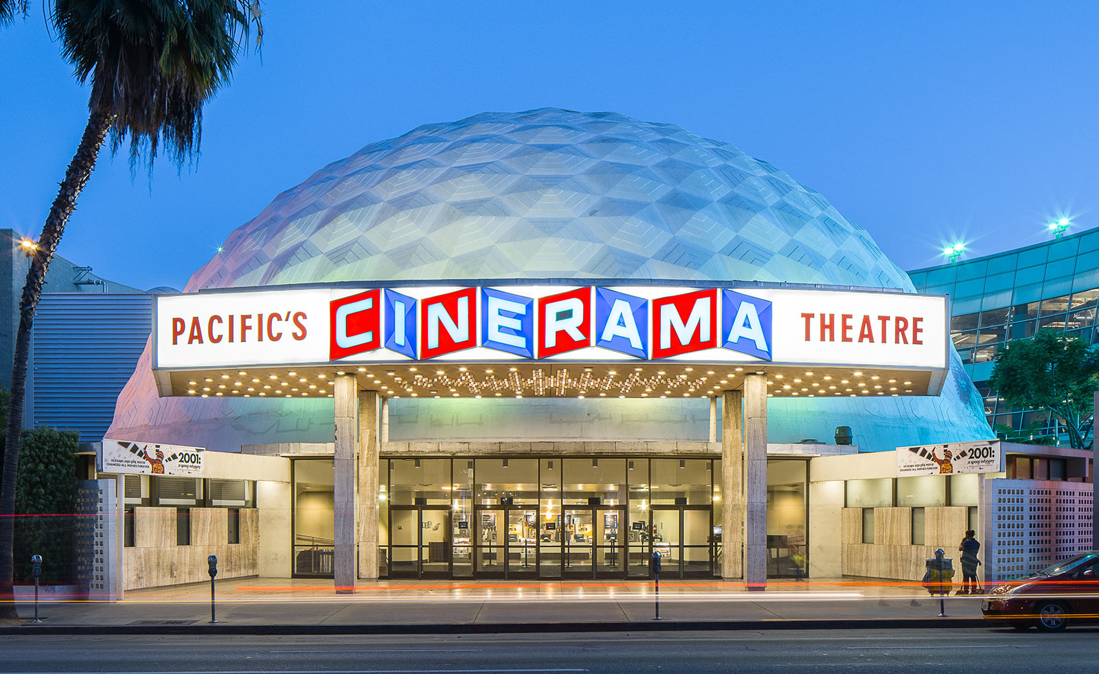
Concrete structures across Los Angeles are charted in a new map that documents the best of the city’s brutalist buildings to visit. Deane Masden, architecture critic and former associate editor of design at Architect Magazine, has curated a selection of architectural highlights from the likes of William L. Pereira, Edward Durell Stone, SOM and Minoru Yamasaki amongst many more.
Los Angeles’ sprawl of concrete constructions is followed for the first time from the driving seat of an automobile, instead of on foot as with other maps from the concrete series – critic Reyner Banham described LA a ‘uniquely mobile metropolis’ in 1971, and it remains so way today.
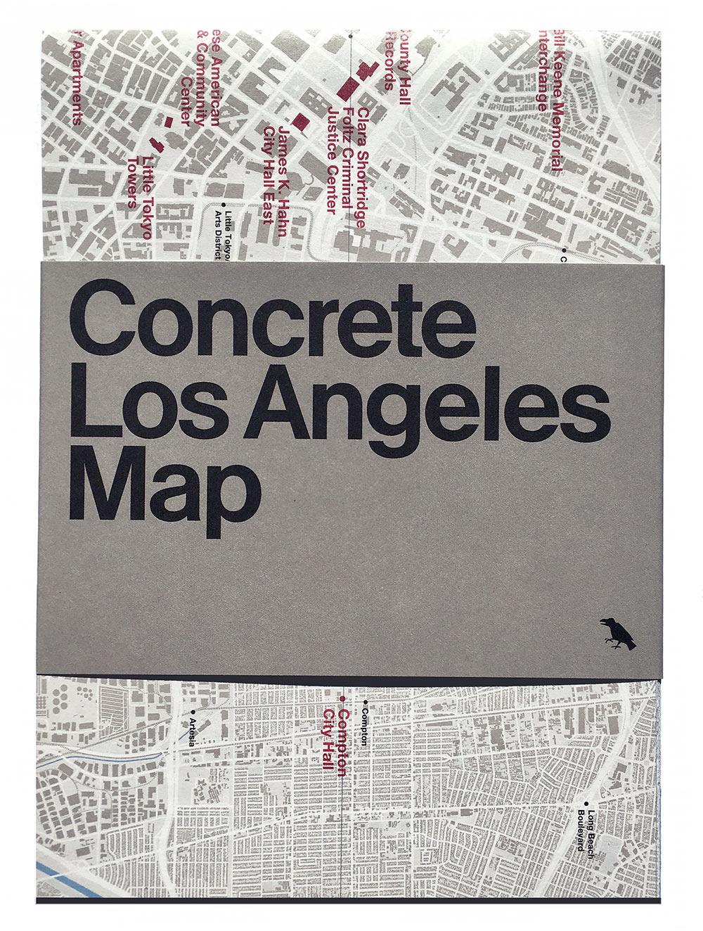
The cover of the Concrete Map Los Angeles from Blue Crow Media
Ground is covered from the heart of Hollywood, with the Cinerama Dome on Sunset to the First United Methodist Church of Glendale in the north, and other less explored areas of the city – even an interchange designed by Marilyn Jorgenson Reece.

Liberty Savings and Loan building designed by Kurt Meyer, 1966.
The map shows how concrete architecture has developed across the modern era – how architects have used it to express a multitude of philosophies and building techniques. Plotted on the map, we see the whole range of its uses; from Frank Lloyd Wright’s early modernist concrete block mansions of the mid-20th century, to contemporary concrete structures such as The Broad by Diller Scofidio + Renfro that reveals boundary-pushing engineering techniques.
Rudolph Schindler’s tilt-up houses and John Lautner’s exuberent rooflines show how concrete led the way in defining Los Angeles as a city of ‘case study houses’, allowing architects to experiment with the domestic architectural form.
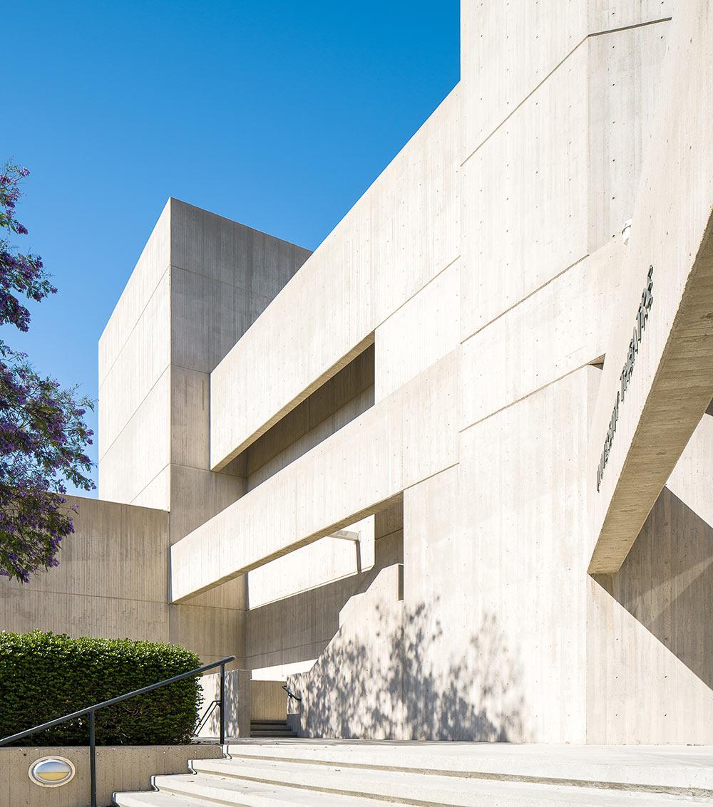
CSUDH University Theatre Los Angeles designed by A. Quincy Jones in 1973.
The map’s design follows the format of the previous maps of the series, with red type on grey and black and white photography by Jason Woods, creatively bringing together discovery, travel and architecture into a neat guide through concrete, architectural philosophies, urbanisation and city life.
The map is the 18th in the series from Blue Crow Media exploring concrete and brutalist architecture from Boston to Berlin
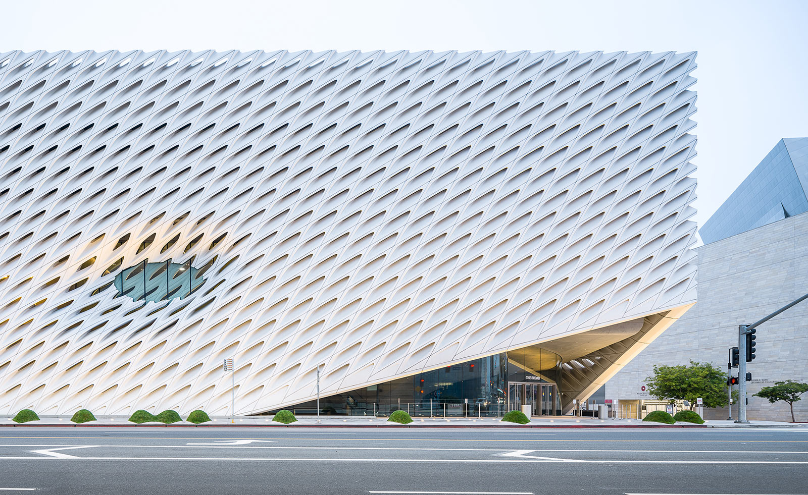
The Broad, opened in 2015
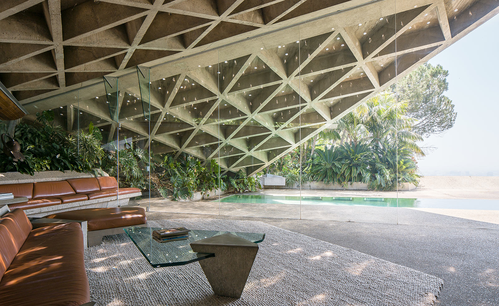
Sheats Goldstein house, completed in 1963
INFORMATION
For more information, visit the Blue Crow Media website
Wallpaper* Newsletter
Receive our daily digest of inspiration, escapism and design stories from around the world direct to your inbox.
Harriet Thorpe is a writer, journalist and editor covering architecture, design and culture, with particular interest in sustainability, 20th-century architecture and community. After studying History of Art at the School of Oriental and African Studies (SOAS) and Journalism at City University in London, she developed her interest in architecture working at Wallpaper* magazine and today contributes to Wallpaper*, The World of Interiors and Icon magazine, amongst other titles. She is author of The Sustainable City (2022, Hoxton Mini Press), a book about sustainable architecture in London, and the Modern Cambridge Map (2023, Blue Crow Media), a map of 20th-century architecture in Cambridge, the city where she grew up.
-
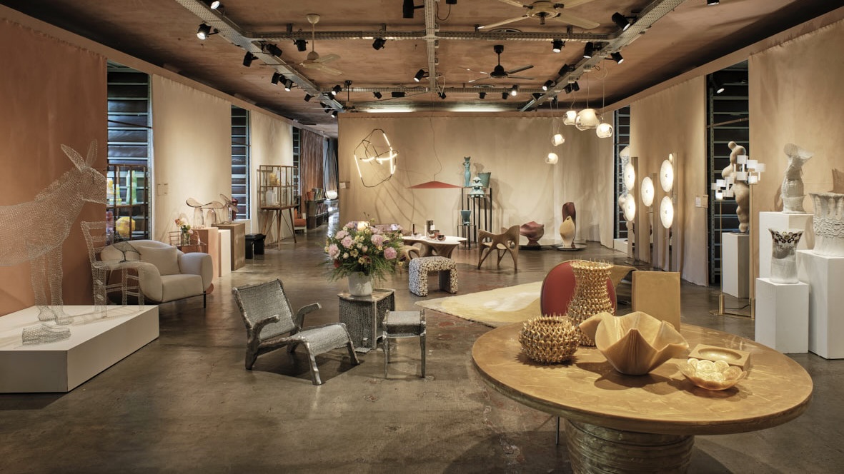 Eight designers to know from Rossana Orlandi Gallery’s Milan Design Week 2025 exhibition
Wallpaper’s highlights from the mega-exhibition at Rossana Orlandi Gallery include some of the most compelling names in design today
By Anna Solomon
-
 Nikos Koulis brings a cool wearability to high jewellery
Nikos Koulis experiments with unusual diamond cuts and modern materials in a new collection, ‘Wish’
By Hannah Silver
-
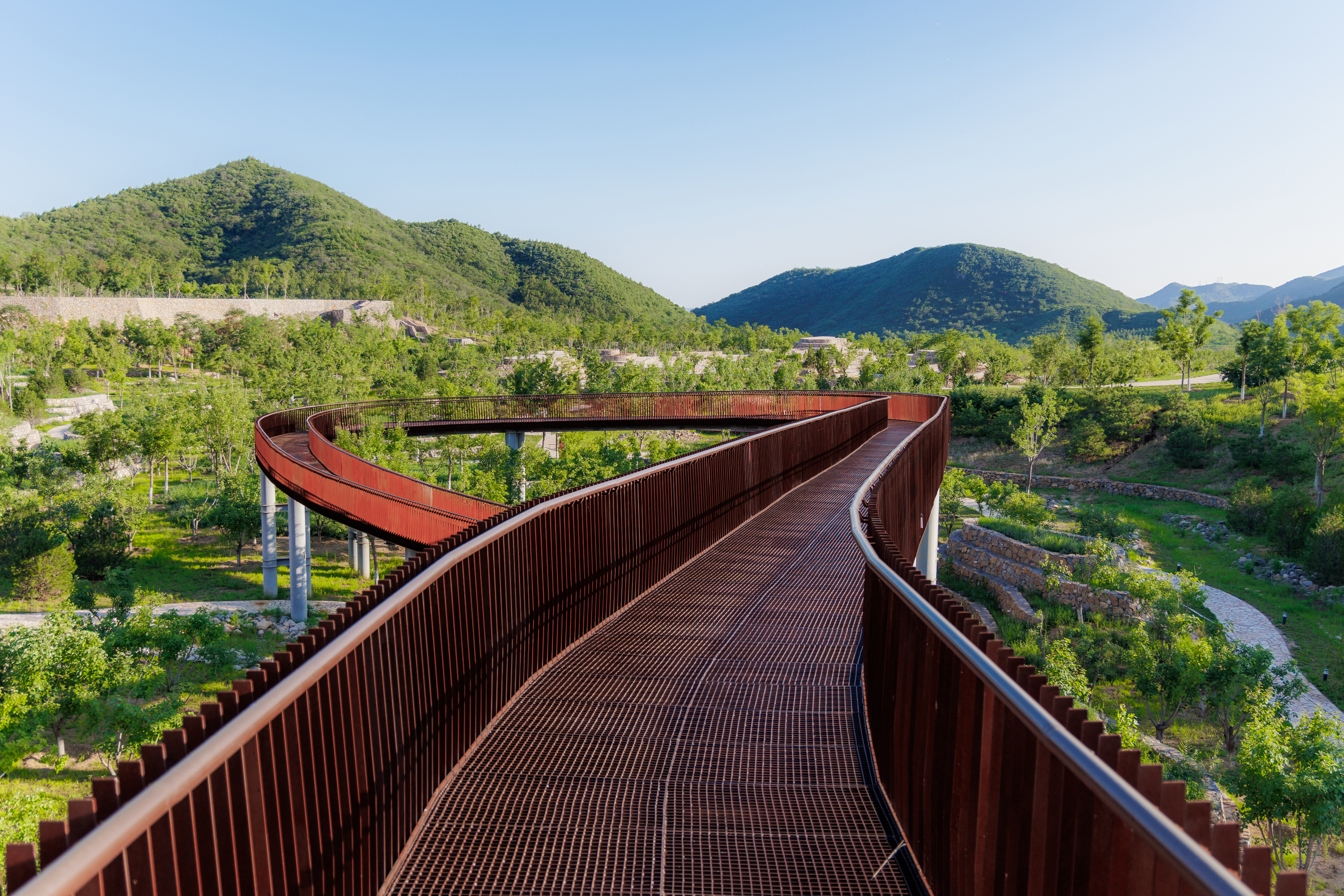 A Xingfa cement factory’s reimagining breathes new life into an abandoned industrial site
We tour the Xingfa cement factory in China, where a redesign by landscape specialist SWA Group completely transforms an old industrial site into a lush park
By Daven Wu
-
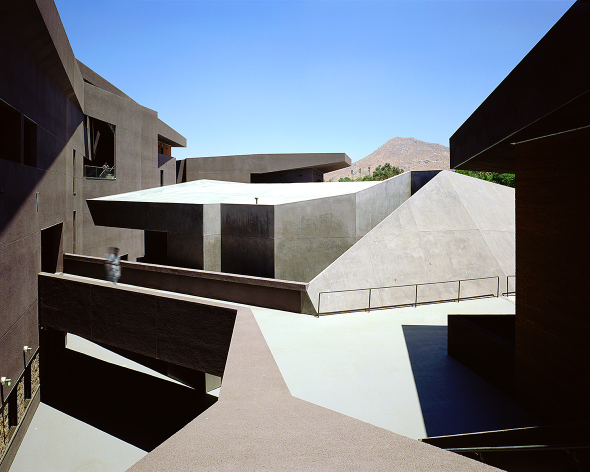 We explore Franklin Israel’s lesser-known, progressive, deconstructivist architecture
Franklin Israel, a progressive Californian architect whose life was cut short in 1996 at the age of 50, is celebrated in a new book that examines his work and legacy
By Michael Webb
-
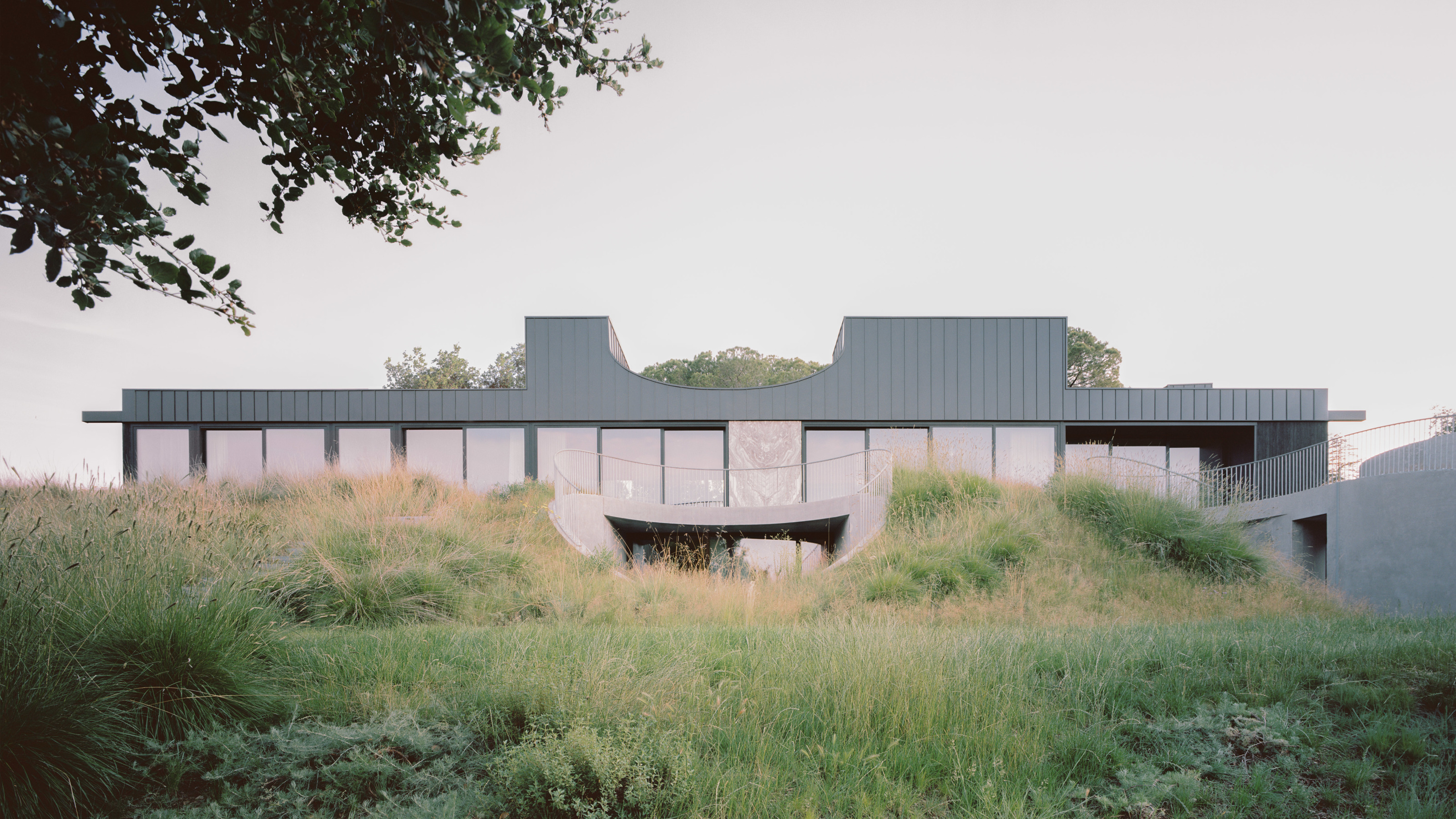 A new hilltop California home is rooted in the landscape and celebrates views of nature
WOJR's California home House of Horns is a meticulously planned modern villa that seeps into its surrounding landscape through a series of sculptural courtyards
By Jonathan Bell
-
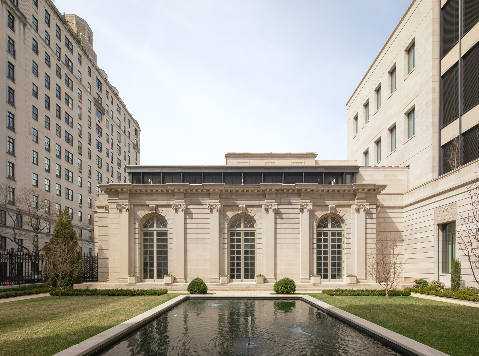 The Frick Collection's expansion by Selldorf Architects is both surgical and delicate
The New York cultural institution gets a $220 million glow-up
By Stephanie Murg
-
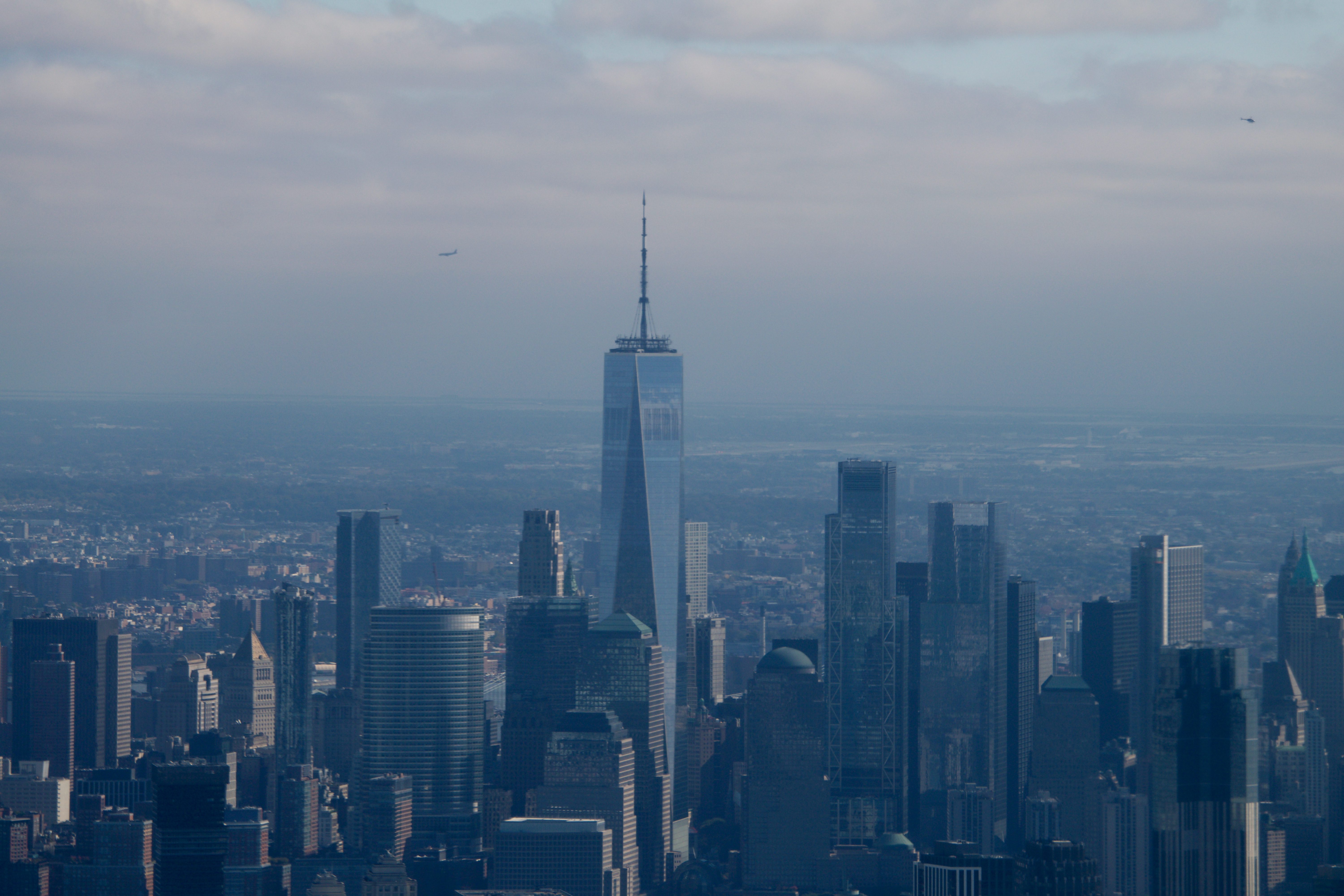 Remembering architect David M Childs (1941-2025) and his New York skyline legacy
David M Childs, a former chairman of architectural powerhouse SOM, has passed away. We celebrate his professional achievements
By Jonathan Bell
-
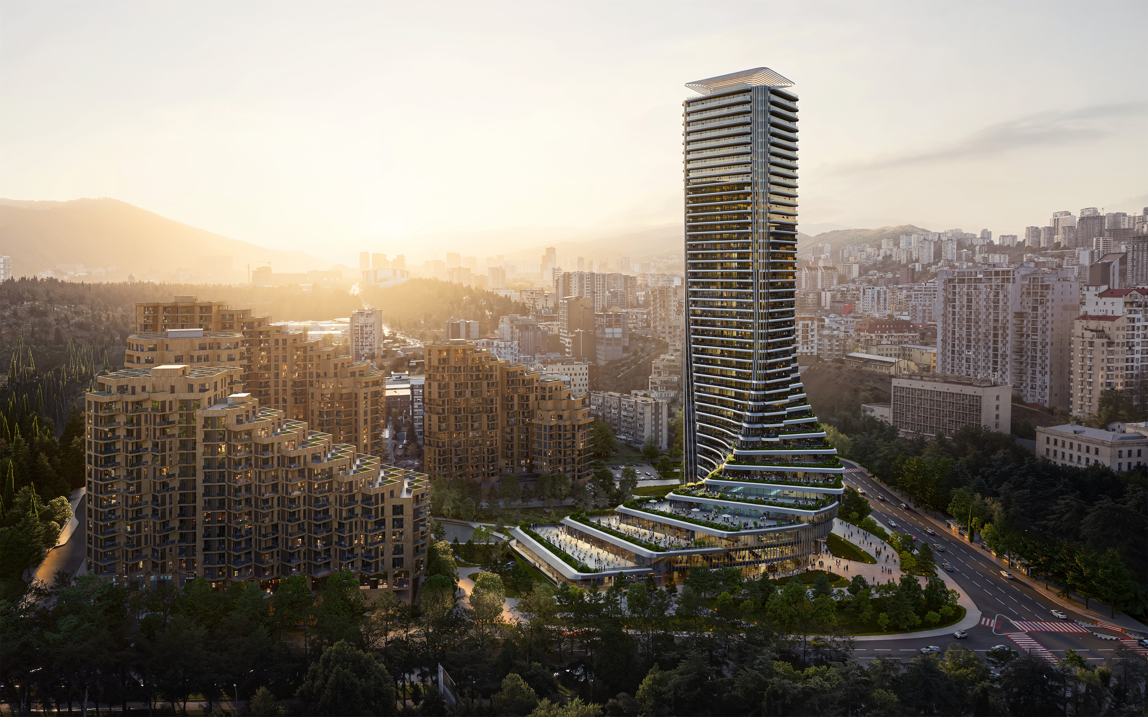 The upcoming Zaha Hadid Architects projects set to transform the horizon
A peek at Zaha Hadid Architects’ future projects, which will comprise some of the most innovative and intriguing structures in the world
By Anna Solomon
-
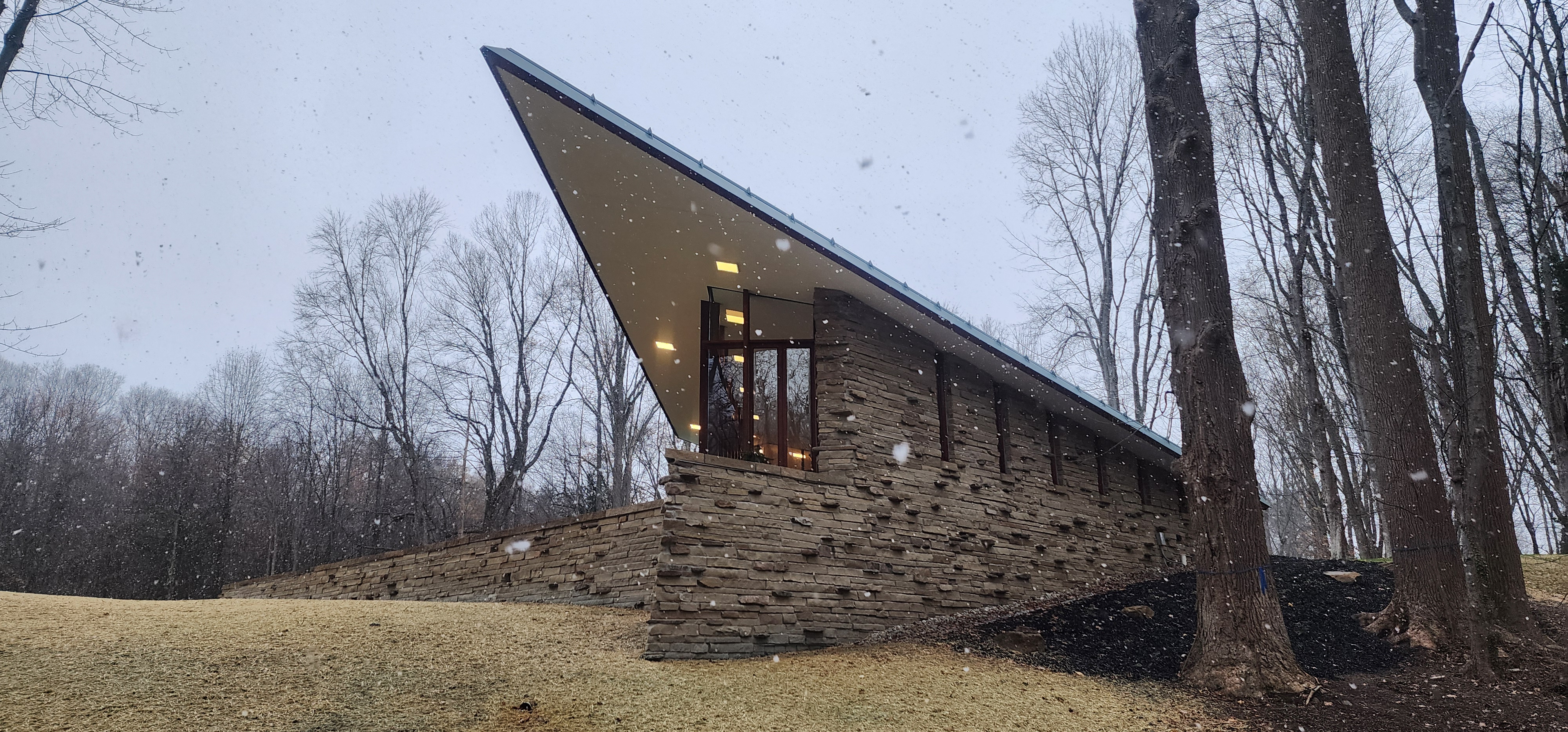 Frank Lloyd Wright’s last house has finally been built – and you can stay there
Frank Lloyd Wright’s final residential commission, RiverRock, has come to life. But, constructed 66 years after his death, can it be considered a true ‘Wright’?
By Anna Solomon
-
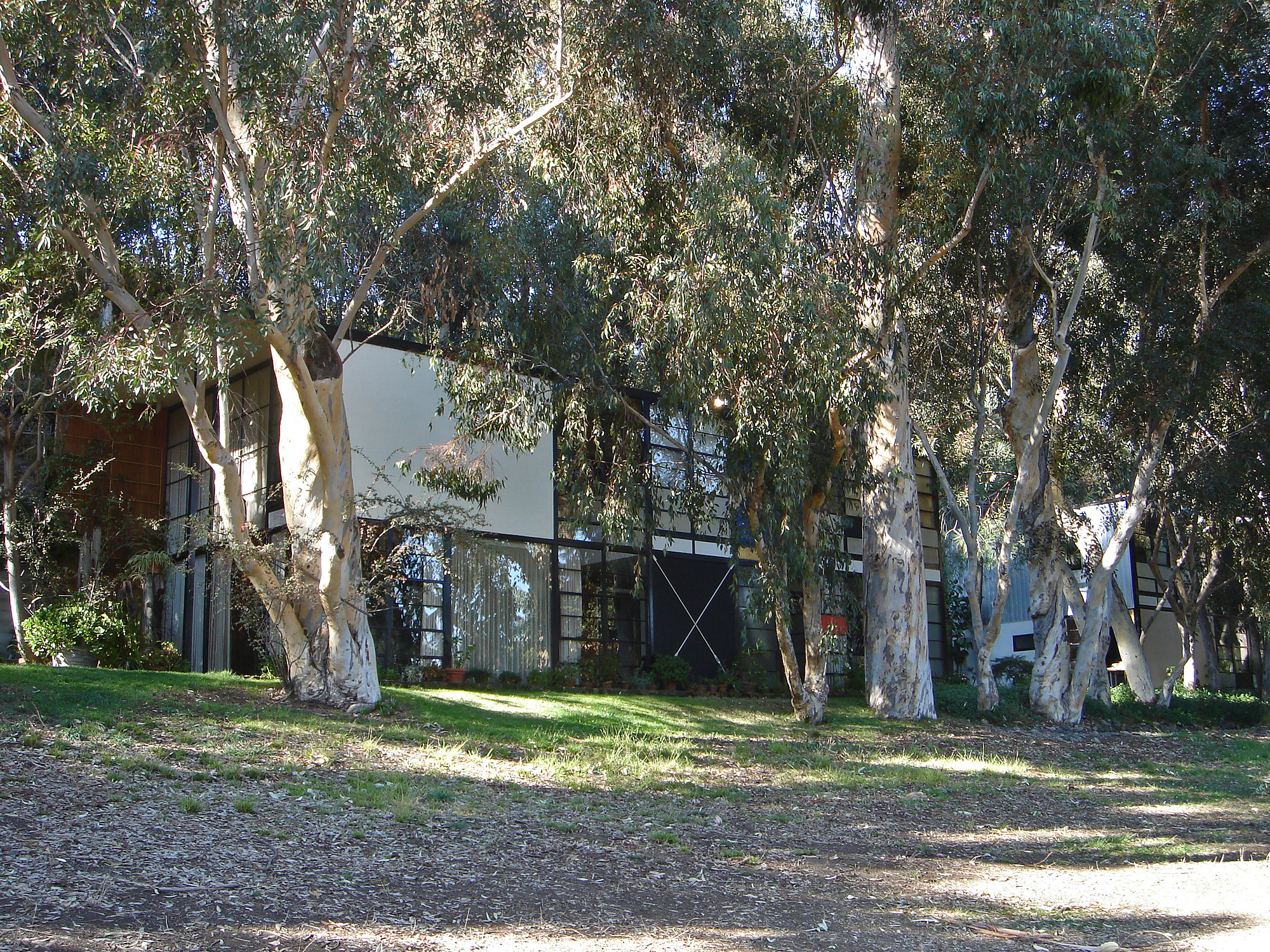 Heritage and conservation after the fires: what’s next for Los Angeles?
In the second instalment of our 'Rebuilding LA' series, we explore a way forward for historical treasures under threat
By Mimi Zeiger
-
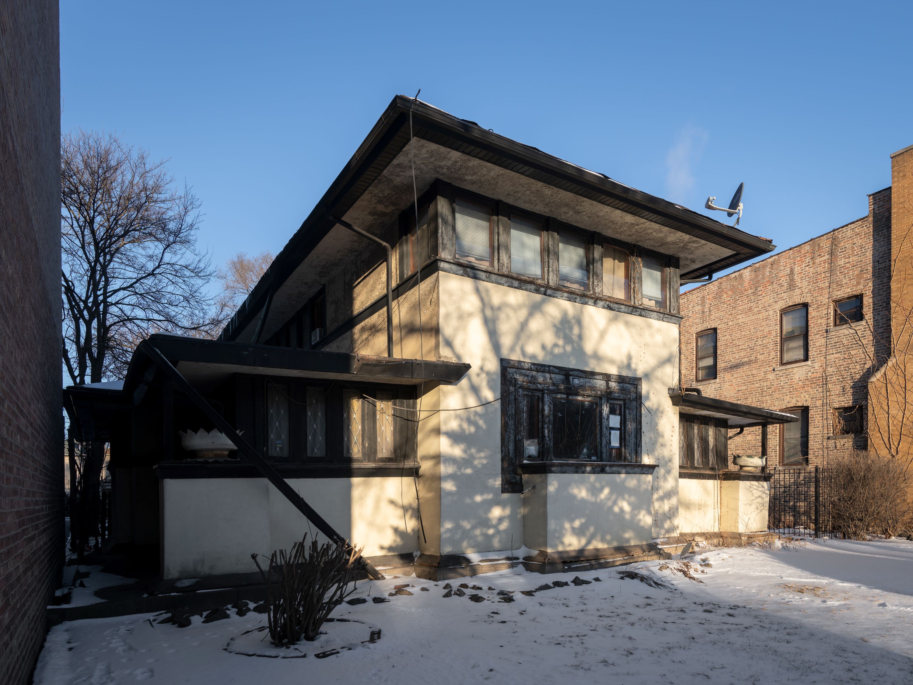 Why this rare Frank Lloyd Wright house is considered one of Chicago’s ‘most endangered’ buildings
The JJ Walser House has sat derelict for six years. But preservationists hope the building will have a vibrant second act
By Anna Fixsen