Stephen Shore book ‘Topographies’ sees the photographer take his eye to the USA’s skies
Stephen Shore book ‘Topographies: Aerial Surveys of the American Landscape’ offers a fresh photographic view of the USA’s vast and varied idiosyncrasies
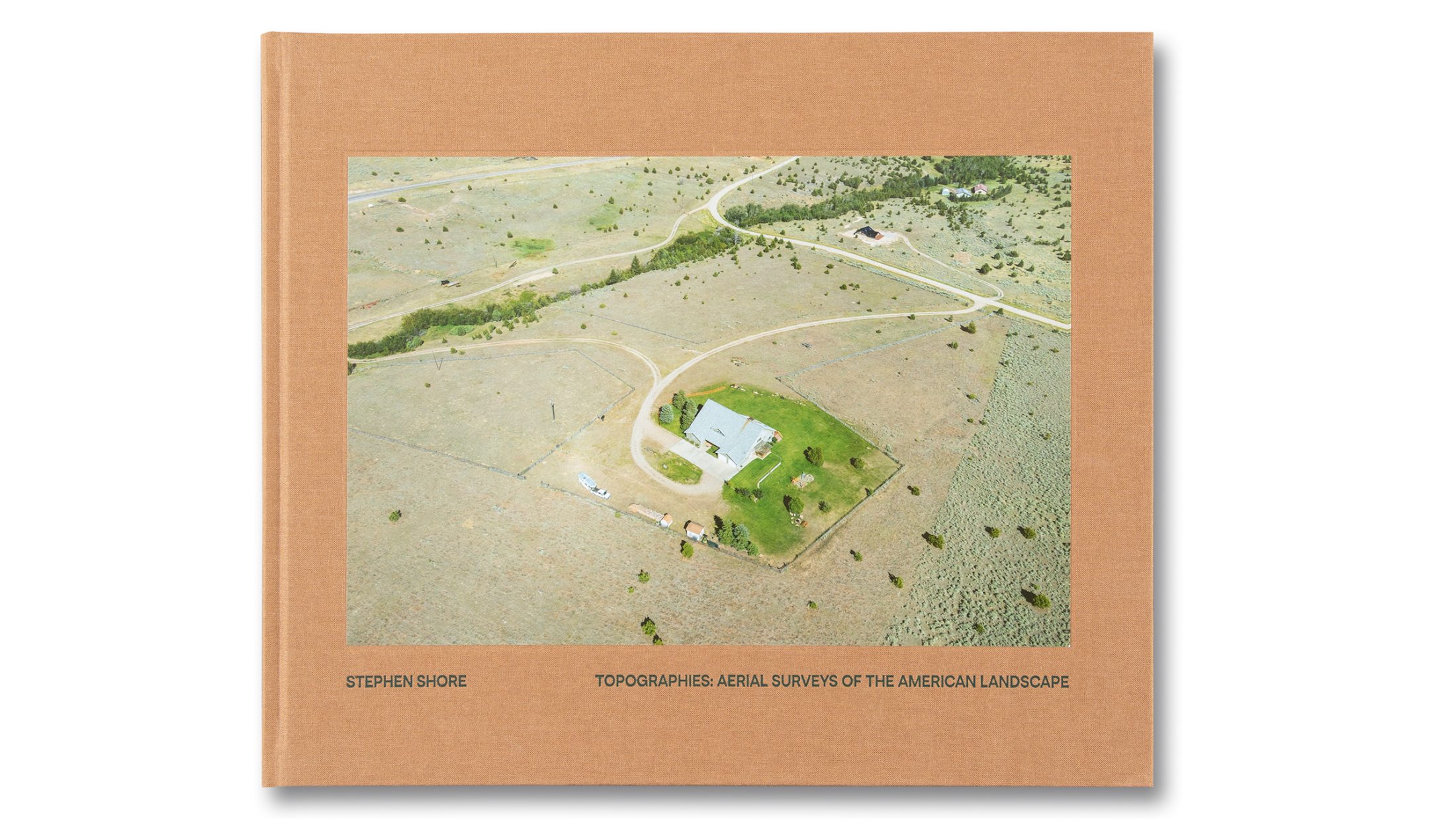
Photographer Stephen Shore is best known for his reportage on the American landscape, grounding the USA’s expanse with carefully filtered views of human interactions and ephemera. His newest monograph, Topographies: Aerial Surveys of the American Landscape, shifts his point of view, but not his subject.
New Stephen Shore book explores USA from the skies
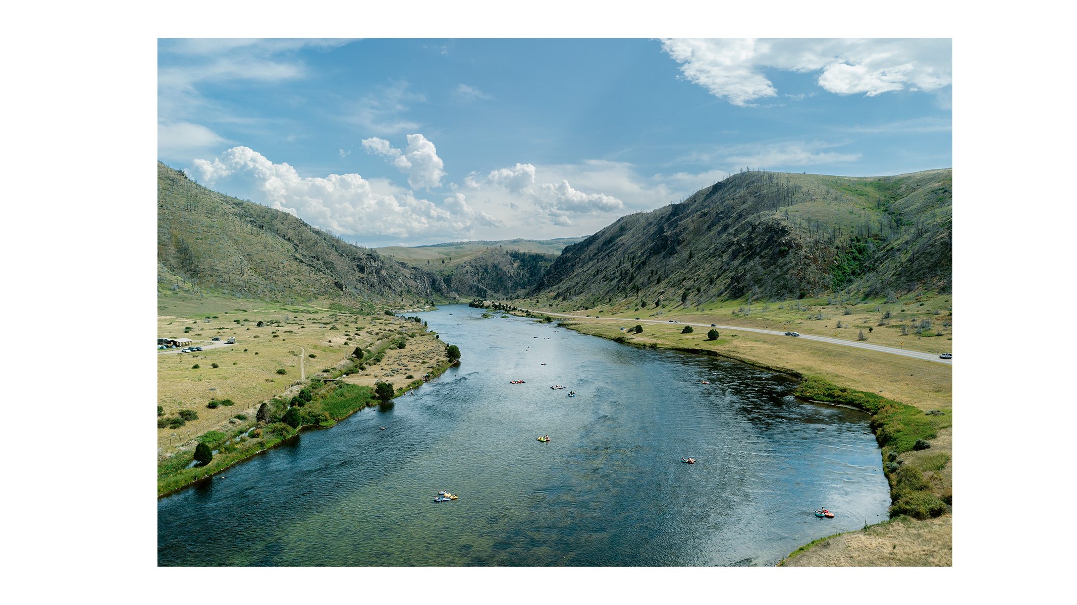
45º36.400296N, 111º34.501908W
For Topographies, Shore has embraced the viewpoint of the drone, working mostly during the period of the pandemic, when his road trips in Montana, New Jersey, Virginia and elsewhere were even more lonely and isolated. Yet instead of using the device to capture the states’ majestic wilderness, Shore is exploring the edge cases, the places where nature has been trammelled by human activity, or perhaps has even managed to reclaim itself.
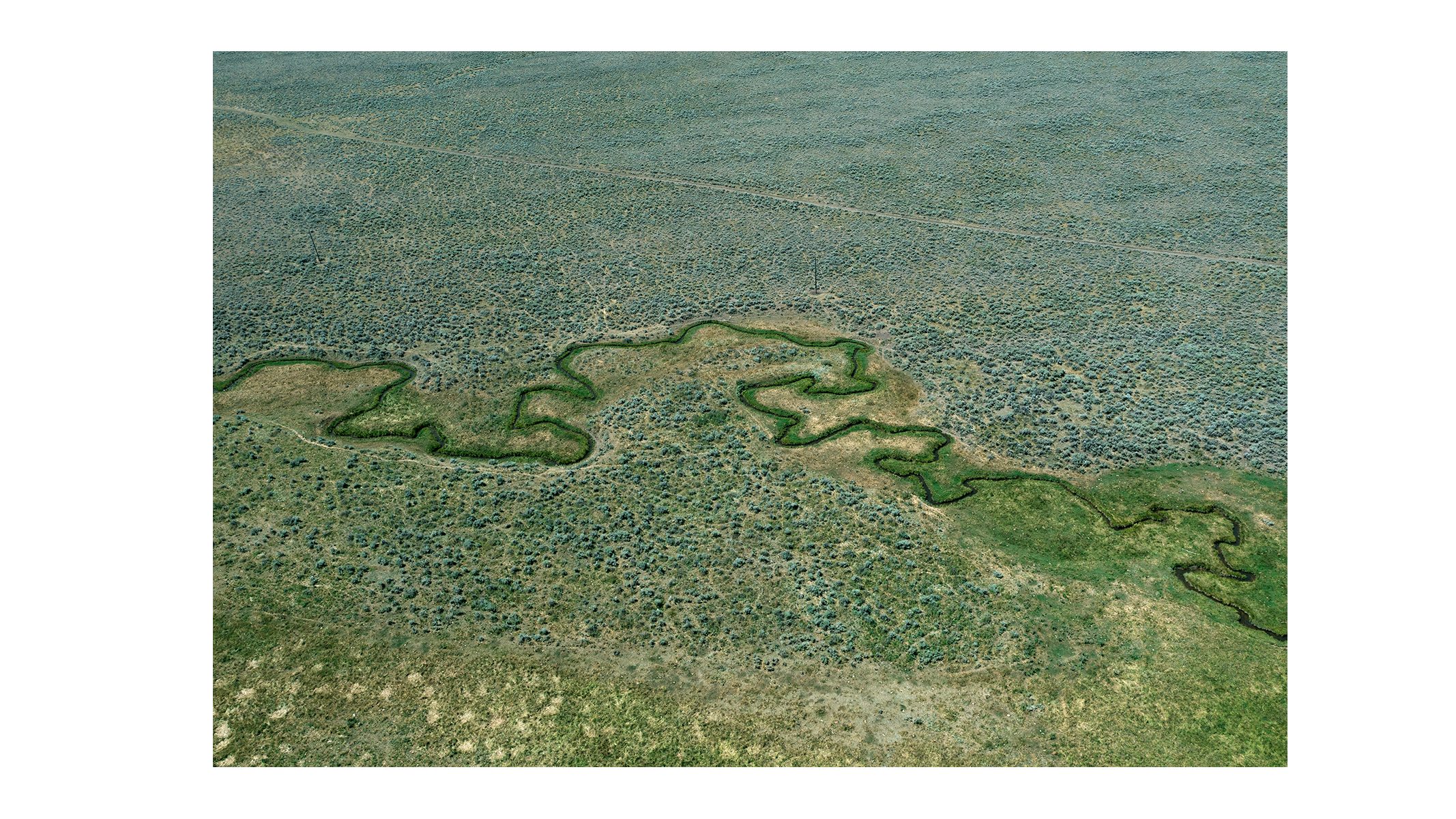
46º21.458793N, 110º43.432813W
This new perspective only rarely reveals the big expanse of Montana sky; more often than not, the camera is aimed downwards, filling the frame with a bird’s-eye view of the idiosyncratic patterns of human development.
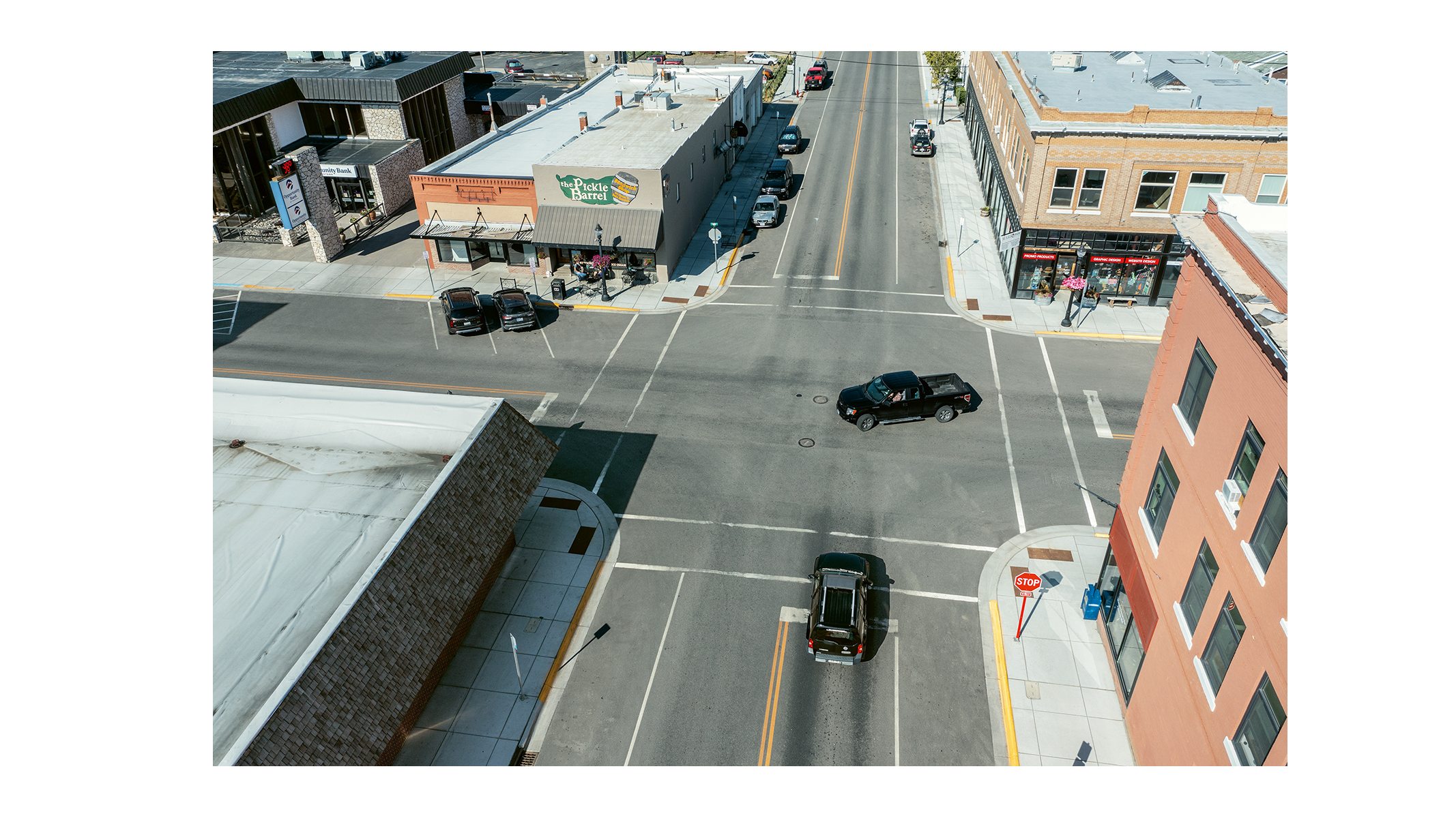
45º39.611201N, 110º33.555856W
This might be the tumbling form of a creek alongside the unnatural directness of a dirt road, or the bone-dry banality of a main street’s empty pavements. Trailer parks and campsites, creeks and causeways, junkyards and sidings are all taken in by Shore’s famed eye. These are the vignettes and juxtapositions that Google Earth captures but cannot hope to curate.
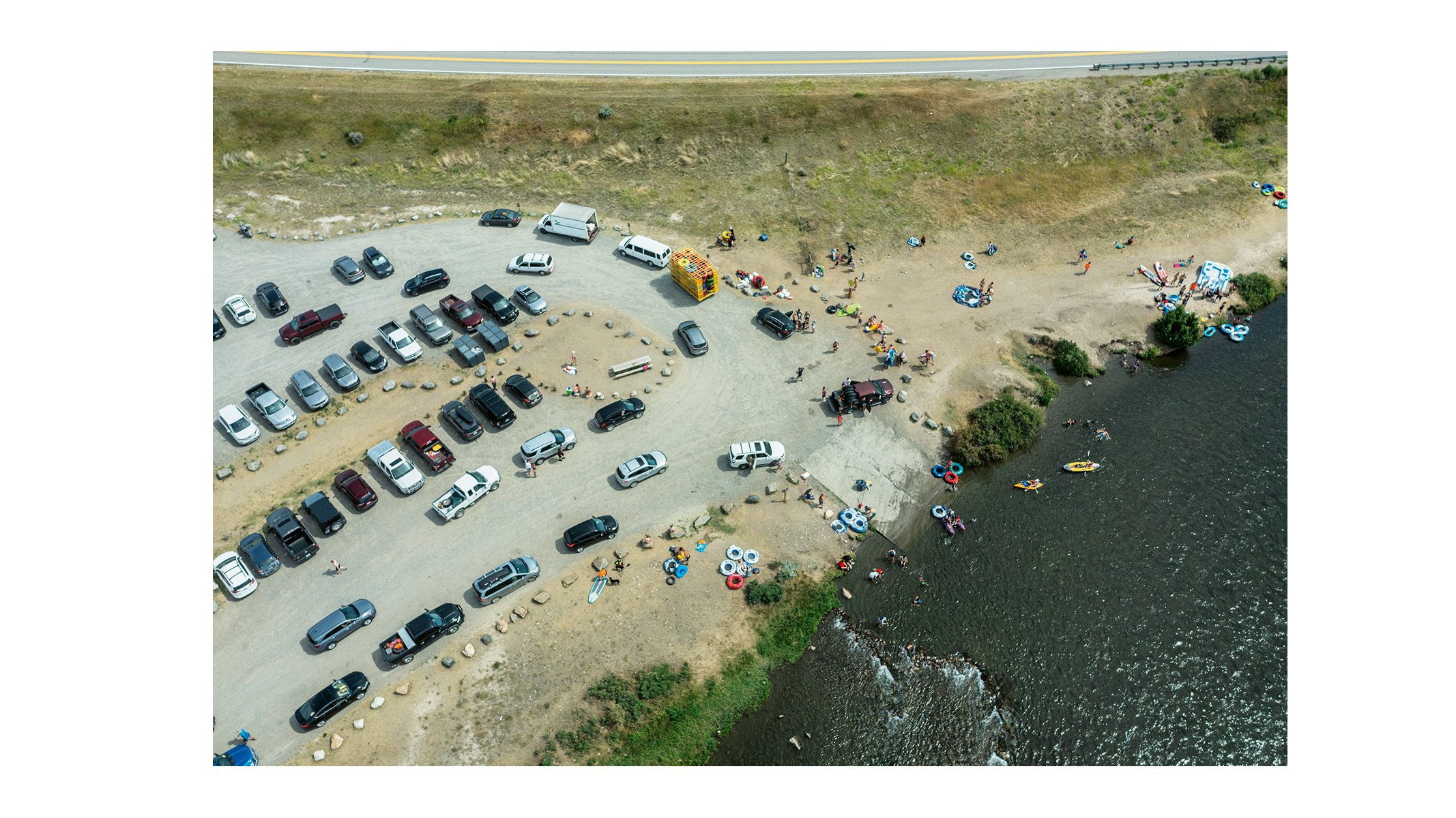
45º38.786N, 111º31.43025W
What makes Topographies so essentially American is the mix of sheer scale with the audacious integration of humanity into the landscape. For the most part these aren’t agricultural scenes, but places of industry, inhabitation, transport and leisure. The American landscape has submitted to so much over the course of the country’s modern history, but still retains its grandeur.
Stephen Shore, Topographies: Aerial Surveys of the American Landscape, £65, MACK
Wallpaper* Newsletter
Receive our daily digest of inspiration, escapism and design stories from around the world direct to your inbox.
Also available from waterstones.com
Jonathan Bell has written for Wallpaper* magazine since 1999, covering everything from architecture and transport design to books, tech and graphic design. He is now the magazine’s Transport and Technology Editor. Jonathan has written and edited 15 books, including Concept Car Design, 21st Century House, and The New Modern House. He is also the host of Wallpaper’s first podcast.
-
 ‘Humour is foundational’: artist Ella Kruglyanskaya on painting as a ‘highly questionable’ pursuit
Ella Kruglyanskaya’s exhibition, ‘Shadows’ at Thomas Dane Gallery, is the first in a series of three this year, with openings in Basel and New York to follow
By Hannah Silver
-
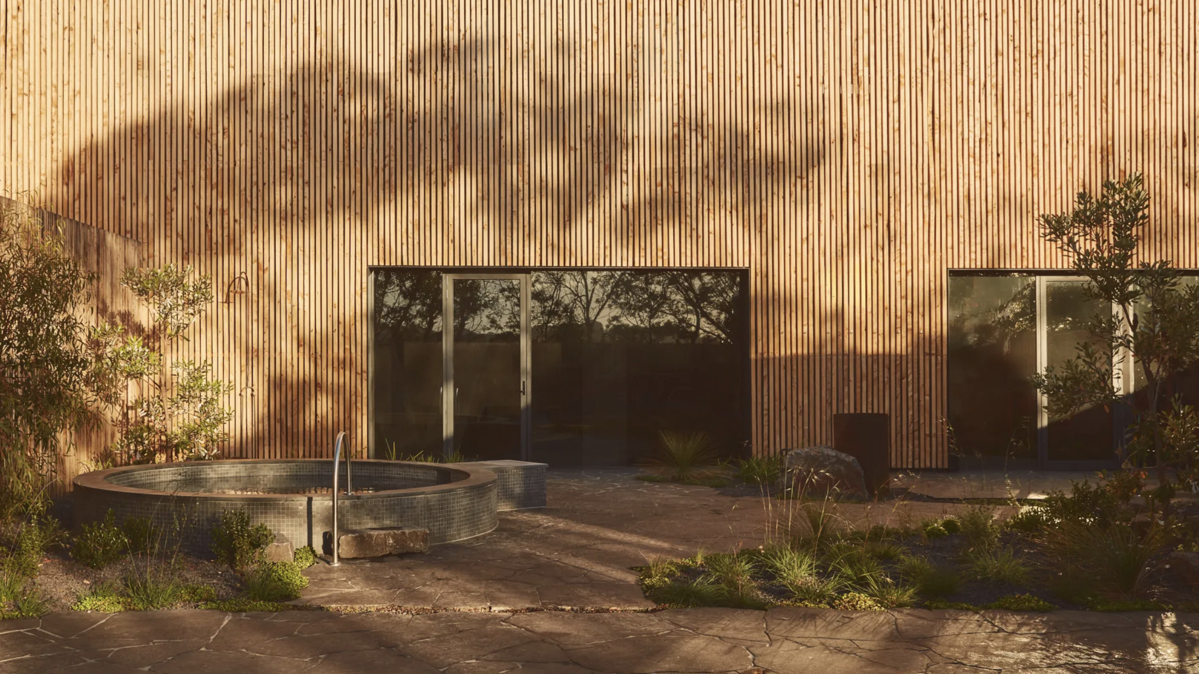 Australian bathhouse ‘About Time’ bridges softness and brutalism
‘About Time’, an Australian bathhouse designed by Goss Studio, balances brutalist architecture and the softness of natural patina in a Japanese-inspired wellness hub
By Ellie Stathaki
-
 Marylebone restaurant Nina turns up the volume on Italian dining
At Nina, don’t expect a view of the Amalfi Coast. Do expect pasta, leopard print and industrial chic
By Sofia de la Cruz
-
 Leonard Baby's paintings reflect on his fundamentalist upbringing, a decade after he left the church
The American artist considers depression and the suppressed queerness of his childhood in a series of intensely personal paintings, on show at Half Gallery, New York
By Orla Brennan
-
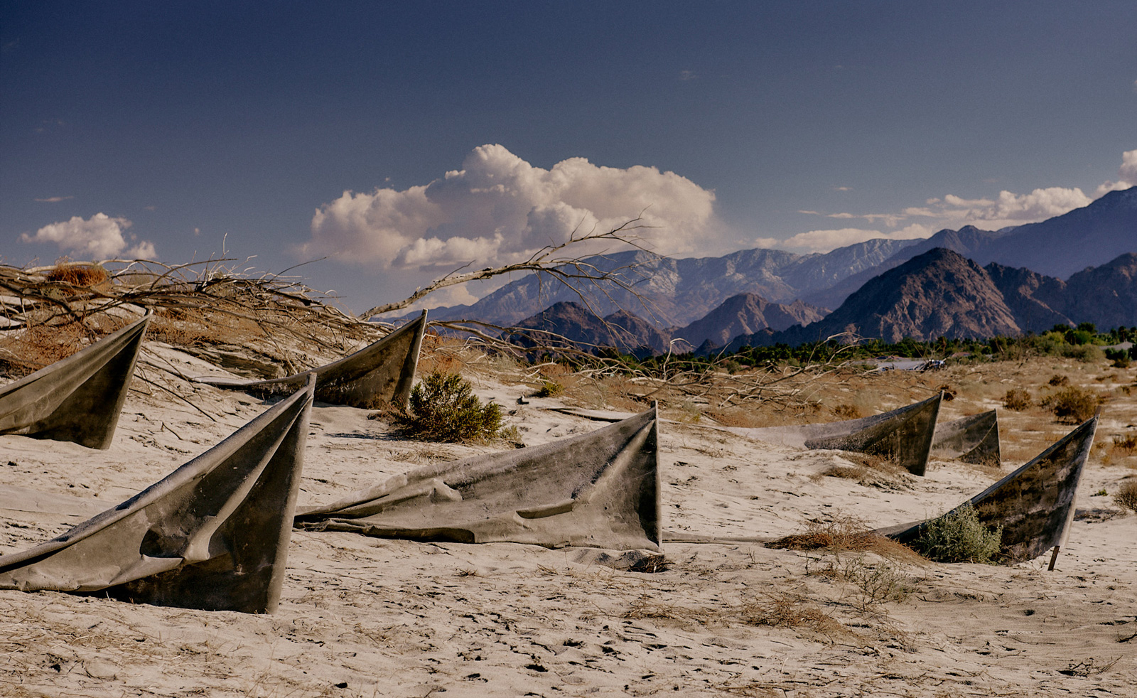 Desert X 2025 review: a new American dream grows in the Coachella Valley
Will Jennings reports from the epic California art festival. Here are the highlights
By Will Jennings
-
 In ‘The Last Showgirl’, nostalgia is a drug like any other
Gia Coppola takes us to Las Vegas after the party has ended in new film starring Pamela Anderson, The Last Showgirl
By Billie Walker
-
 ‘American Photography’: centuries-spanning show reveals timely truths
At the Rijksmuseum in Amsterdam, Europe’s first major survey of American photography reveals the contradictions and complexities that have long defined this world superpower
By Daisy Woodward
-
 Sundance Film Festival 2025: The films we can't wait to watch
Sundance Film Festival, which runs 23 January - 2 February, has long been considered a hub of cinematic innovation. These are the ones to watch from this year’s premieres
By Stefania Sarrubba
-
 What is RedNote? Inside the social media app drawing American users ahead of the US TikTok ban
Downloads of the Chinese-owned platform have spiked as US users look for an alternative to TikTok, which faces a ban on national security grounds. What is Rednote, and what are the implications of its ascent?
By Anna Solomon
-
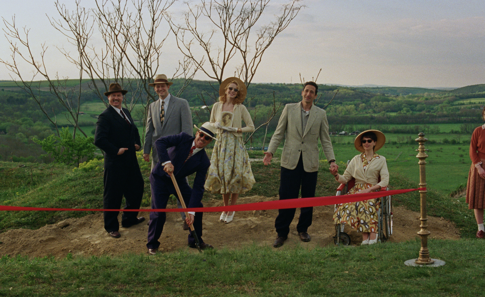 Architecture and the new world: The Brutalist reframes the American dream
Brady Corbet’s third feature film, The Brutalist, demonstrates how violence is a building block for ideology
By Billie Walker
-
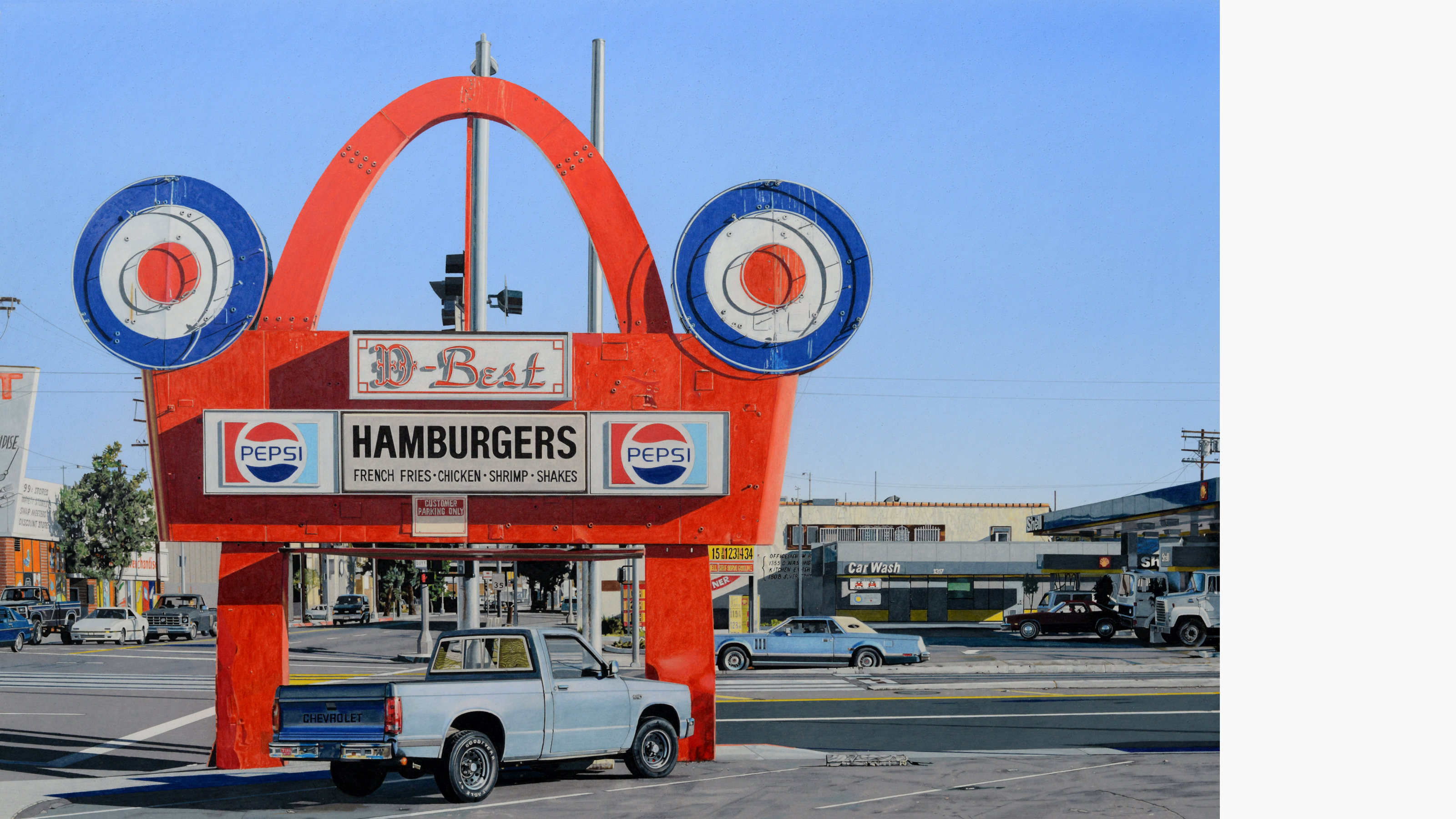 ‘Gas Tank City’, a new monograph by Andrew Holmes, is a photorealist eye on the American West
‘Gas Tank City’ chronicles the artist’s journey across truck-stop America, creating meticulous drawings of fleeting moments
By Jonathan Bell